Our Services
Canada Lands Cadastral & Geomatics Services
Aki Geomatics provides cadastral surveying on Canada Lands nationwide — including First Nations reserve lands, national parks, and the territories — plus non-cadastral geomatics services, such as topographic survey work, in Ontario.
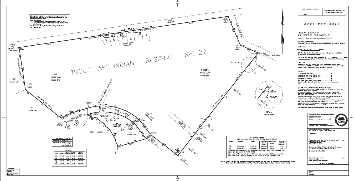
Canada Lands Cadastral Surveys and Boundary Retracement
Our core practice is cadastral surveying on Canada Lands — the legal determination of property boundaries under the Canada Lands Surveyors Act. We retrace original survey monuments and produce the legal documentation required before Canada Lands are developed, severed, or transferred.
Who It's For
First Nations administrations and legal counsel who need a defensible, legally recognized boundary on Canada Lands.
Request a Quote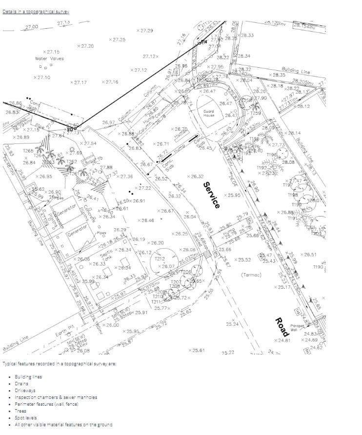
Topographic Survey
We capture existing ground conditions — elevations, drainage, vegetation, structures, and utilities — using modern GPS and drone-assisted data collection, delivered in the format your engineers and architects need.
Who It's For
Engineering firms, contractors, and developers planning site design, grading, or infrastructure work.
Request a Quote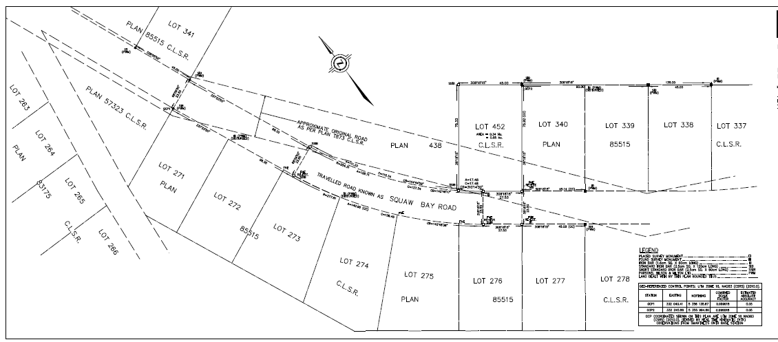
First Nation Subdivision Support
We provide survey data and draft plans to support subdivision and lot-creation planning on Canada Lands, coordinating with First Nations administrations and the Canada Lands Survey System as reserve lands are prepared for new development.
Who It's For
First Nations administrations planning new lots or land divisions on reserve lands.
Request a Quote
Get a Survey Quote Within Days, Not Weeks
Tell us about your property or project and we'll follow up with next steps — no obligation.